Columbine Lake

Columbine Lake is a beautiful alpine lake sitting in the west cirque of Mount Neva. It is a popular hike starting at the Junco Lake trailhead.
8/10/20 Columbine Lake from Junco Lake Trailhead
6.4 mile round trip
1000 feet elevation gain
I usually look for a hike with solitude but this is not one for that. We were looking for a close hike that we could do before we headed down to the Front Range. Columbine Lake fit the description. Heading north on US 40, we turned right onto CR 83. As soon as we rounded the private pond on the right, we took a left on CR 84. We wound our way up to Meadow Creek Reservoir. You need a recreation area pass to park at the Junco Lake trailhead so stop at the kiosk and get a pass. The Junco Lake trailhead turnoff is at the east end of Meadow Creek reservoir and is well marked. The last few miles of the road is full of potholes. People bring all types of cars to the trailhead but you will be happier in a high clearance vehicle if you have one. Your dogs will need to be leashed on this one. There is a small cabin at the parking area where the Forest Service often stations a ranger on the weekends.

The trail starts as an old jeep road full of rocks, there are smoother paths to the sides of road. In a downpour this road turns into a small river. In the early summer this hike is quite wet. You pass the High Lonesome trail cut off almost immediately. The road climbs up to an old ruin of a cabin and slowly narrows and smooths out to the border of Indian Peaks Wilderness at 1.4 miles where it becomes a nice trail.
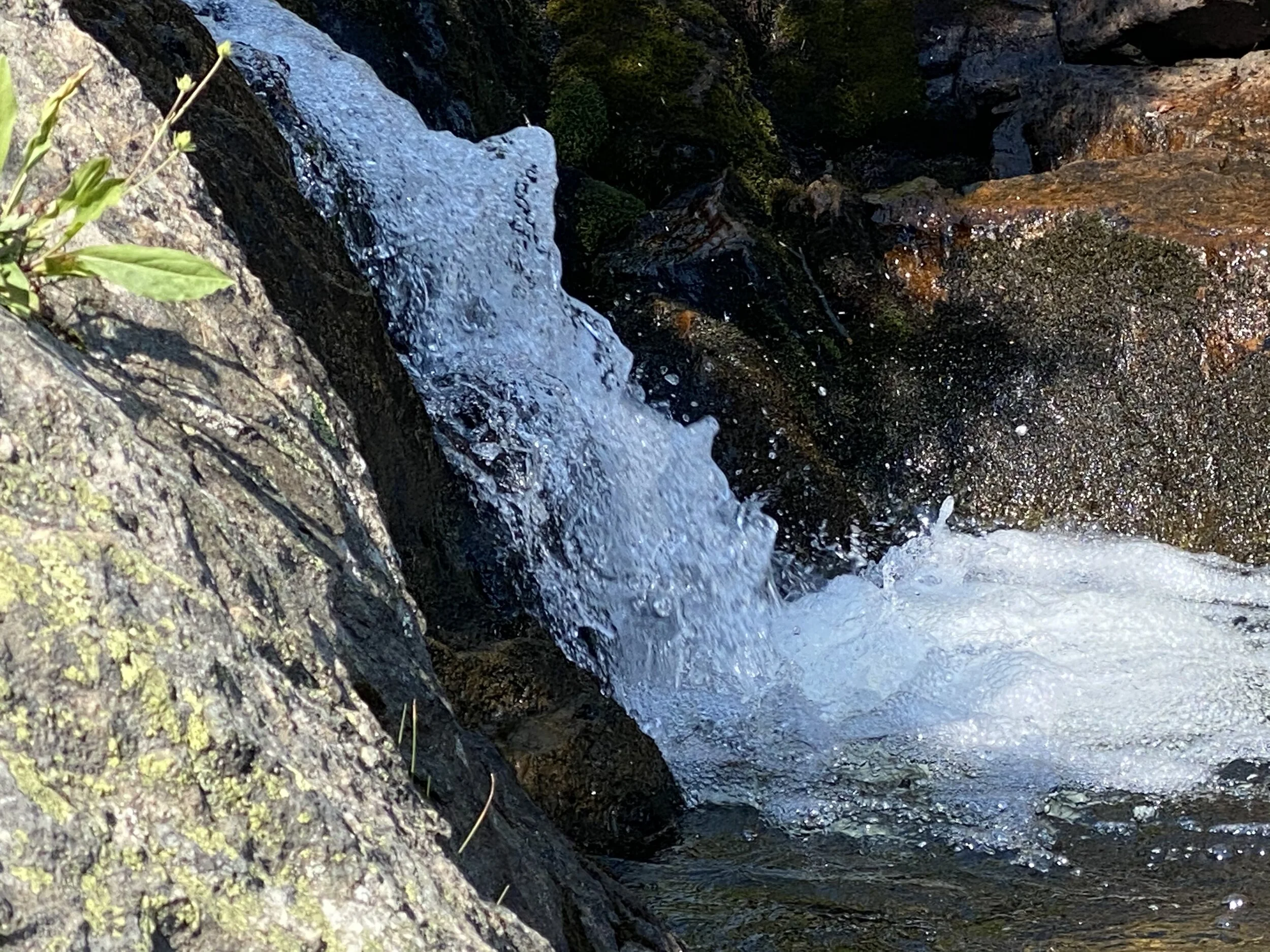
The trail follows Meadow Creek until it turns to the left and starts to climb steeply up the hillside. After a switchback, you see the Caribou Trail cut off and the trail becomes less steep. This a a very well maintained trail that will take you over several log bridges and across a marshy meadow where there is a stepping stone path. After the meadow the trail climbs steeply up a path that follows the stream coming out of Columbine Lake at about 2.8 miles. This climb is steep but only lasts 0.2 miles where is rounds off, winds around a few large standing water ponds (mosquito breeding grounds), over some lovey rocks and ends at the lake. My Garmin app showed a total round trip distance of 8.1 miles but I trace the route at 6.4 miles. It didn't feel like 8 miles.


Stone path across the marshy meadow


Headed back out